Feedback on coastal hazards extended
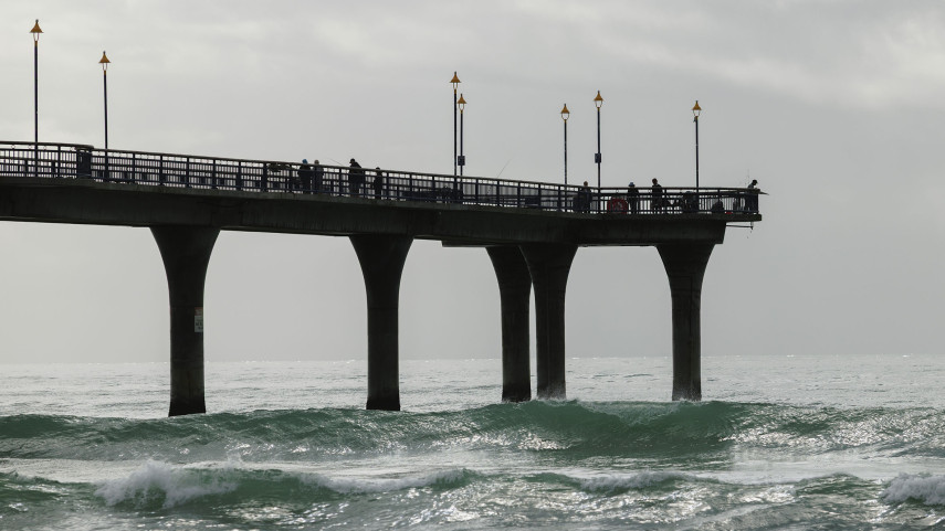
10 Nov 2021People now have until 6 December to give feedback on coastal hazards planning after the timeframe for consultation was extended.
Council approves District Plan change
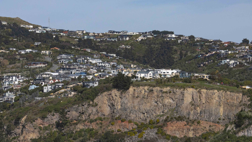
14 May 2020Christchurch City Council has agreed to change the District Plan to reflect updated information on the slope instability risk in some parts of the Port Hills.
Tsunami siren test marks end of daylight saving
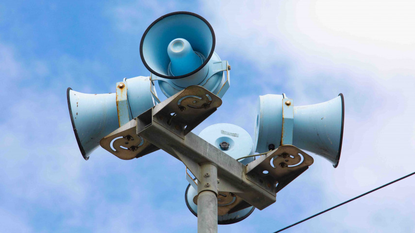
3 Apr 2025Residents along Christchurch’s coastline will hear a tsunami sirens test coinciding with the end of daylight saving.
Liquefaction Lab reveals potential land damage
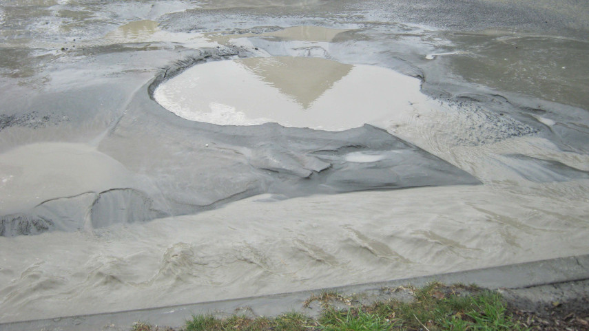
29 Jul 2020A new interactive online tool will help people better understand how the ground in Christchurch may respond in an earthquake.
Testing time for tsunami warning sirens
26 Sep 2019Christchurch’s tsunami warning sirens will be tested this Sunday at 11am.
Tsunami sirens to sound on Saturday
31 Mar 2021The tsunami sirens along Christchurch’s coastline will undergo routine testing on Saturday morning at 11am.
Rockfall prompts closure of Cave Rock entry point
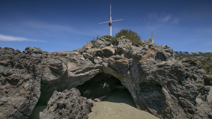
18 Dec 2020One of the entrances to Tuawera Cave Rock, on Sumner Beach, is being closed to the public because of the rockfall risk.
Tsunami alerts timely reminder to check your zone
5 Mar 2021The tsunami alerts issued in the wake of the earthquakes near the Kermedec Islands are a timely reminder that people should check if they are in a tsunami evacuation zone.
Botanic Gardens to play key role in liquefaction study
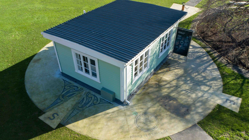
28 Oct 2022GNS Science hopes to learn more about liquefaction by installing a second seismograph in the Christchurch Botanic Gardens.
Testing time for Christchurch's tsunami sirens
30 Mar 2022The tsunami sirens along Christchurch’s coastline will undergo routine testing at 11am Sunday 3 April.


