New high tide levels aid Christchurch’s flood management
Natural hazards |
3 Jun 2021
Share this story
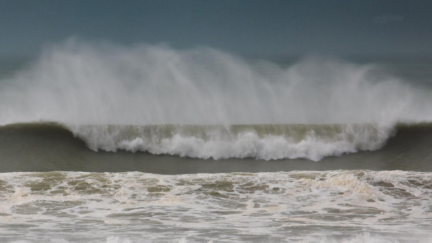
New high tide statistics for Christchurch are building understanding of the flood risk in tidal areas of the city, particularly the probability of high tides coinciding with significant rainfall events.
Engineering consultancy GHD Christchurch, in association with Netherlands-based flood risk experts HKV, put the statistics together using advanced analysis that looks at a range of things that influence sea levels. These include weather patterns, sea level rise and even the effects of wind and waves on the sea.
This work will further improve our understanding of the frequency of these high water levels occurring at various locations around Christchurch.
The work they have done, which was commissioned by Christchurch City Council, shows a slightly higher water level for most high tide levels than was calculated when the high tide statistics for Christchurch were last reviewed in 2018.
The maximum increase in high tide levels is 84mm, at the Ferrymead Bridge.
In the Pūharakekenui Styx River area (where the Styx River flows into the Waimakariri River) the high tide level has fallen slightly.
Christchurch City Council Head of Three Waters and Waste Helen Beaumont says tide levels are continually monitored because they feed into computer modelling that helps us determine recommended minimum floor levels for new developments, and for design levels for flood protection works and infrastructure in tidal areas.
High tide statistics also inform the mapping of flood management areas in the Christchurch District Plan, notations in Land Information Memoranda (LIMs) and other technical work, such as the assessment of risk from coastal hazards.
“Properties that are already close to a current flood management area might be considered to be at risk of a one-in-fifty-year flood as a result of the new information. We expect that the modelling, based on the new statistics, will cause the flood management areas to change, potentially resulting in a comment on a LIM for affected properties,” Ms Beaumont says.
The number of properties likely to gain a new LIM comment is expected to be very small. That is because most properties in tidally influenced areas will already have a comment about potential flooding and the risk of coastal inundation. Updating LIMs is an automated and continuous process using the Council’s latest information.
The new high tide statistics will impact on floor level requirements for some future builds requiring resource consent. For example, the minimum floor level for a new build in the Bridge Street area could be expected to rise about 59mm in response to the new data.
“Our online floor level viewer will be updated with the new data so people will be able to find out more about what it means for any new development they are considering. A large amount of information in the floor level viewer is based on model results and it will take several months to update the models and information,” Ms Beaumont says.
Existing flood protection structures, such as stop-banks, will not need upgrading as a result of the new high tide statistics as they were all designed and built with more than sufficient freeboard to accommodate the slight increase in tide levels.
Popular news