Major plan approved for sea-level rise in Lyttelton Harbour
5 Mar 2025
Share this story
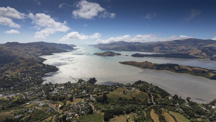
Christchurch City Council has approved a 100-year plan for adapting public assets to the impacts of sea-level rise in Whakaraupō Lyttelton Harbour.
The plan focuses on six priority coastal communities: Rāpaki, Allandale, Teddington, Te Wharau Charteris Bay, Purau and Koukourarata Port Levy.
It outlines the Whakaraupō to Koukourarata Coastal Panel’s preferred ways of adapting roads, wharves and walking tracks, among other at-risk assets, to coastal flooding, erosion and rising groundwater.
Mayor Phil Mauger says the Council’s approval of the adaptation plan yesterday – the first of its kind for the district – is a major milestone in preparing for the local impacts of climate change.
“This plan will guide the management of public assets for people who live, work and play in the Whakaraupō to Koukourarata area for the coming decades.
“Sea-level rise is here to stay, and its effects are already having an impact on how we use and move around our coastline and low-lying inland areas.
“The science tells us that, over time, these impacts are only going to get bigger, so we must start getting ahead of them now.
“There’s no doubt there’ll be some tough decisions ahead, as we balance priorities and spending across our communities over the coming decades.
“We know there are some things we can adapt to, while others we’ll need to learn to live with as we keep experiencing the effects of rising seas and a changing climate.
“But this plan gives us a solid head start, and it will serve as a template as we approach the next stages of adaptation planning in other parts of our district.
“Thank you to the staff, the Coastal Panel, the technical advisors, rūnanga, community members and submitters who’ve all played such a key part in bringing this important and detailed plan before the Council.”
The Coastal Hazards Adaptation Plan’s actions – which were guided by months of feedback-gathering from the six priority communities – were put forward by the Coastal Panel of local representatives, including rūnanga, and supported by the Council’s Specialist Technical Advisory Group.
The plan recommends signals, triggers and thresholds, rather than set timeframes, which form adaptation pathways to guide courses of action. It also considers the wider transport network and the connectivity between communities and Christchurch.
Its estimated cost of adapting assets is $217.8 million over its 100-year period, based on present-day values and not including maintenance.
In approving the final plan yesterday, and in response to public feedback on the draft version last year, the Council also adopted three recommended amendments that relate to the Governors Bay to Allandale Foreshore Track, Governors Bay Teddington Road, and Wharf Road.
Popular news