Better picture emerges of tsunami impact on Christchurch

Share this story
New computer modelling paints a clearer picture of the flooding Christchurch coastlines could see from a large distant source tsunami if sea levels continue to rise with climate change.
The modelling was done by NIWA at Christchurch City Council’s request as part of a Multi-Hazard Analysis project aimed at helping the Council make decisions on long-term floodplain management strategies for the lower reaches of the Avon, Heathcote and Styx rivers and for Sumner.

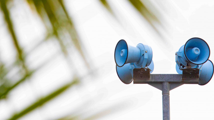
A network of tsunami warning sirens is located along the Christchurch coastline.
The computer modelling looks at the potential flooding from distant source tsunamis triggered by either a magnitude 9.28 earthquake (an event predicted to happen on average once in 500 years) or a magnitude 9.49 earthquake (a one in 2500 year event) in Peru, South America.
It considers different sea level rise scenarios – ranging from 19cm to 1.06 metres - for the next 50 to 100 years.
According to the modelling, both distant source tsunami scenarios will result in major inundation in Christchurch, which as, expected, will worsen with the higher sea level scenarios.
Bays are expected to flood more than previously thought because of the way a tsunami funnels into the bay.
“Modelling like this is so important in allowing us to better understand how tsunamis flood land. In turn, it allows us to make the best informed emergency management decisions,” says Rob Orchard, Head of Civil Defence and Emergency Management.
Largely, the report findings are in line with current tsunami evacuation zones, he says.
“We have engaged with a handful of property owners in Banks Peninsula to make sure they’re aware of the new information and ways they can stay safe in the event of a tsunami flooding their land.
“We are always growing our understanding, and as we learn more, we will update information in our tsunami evacuation zones.”
There is no need at this stage for a widespread update of the Land Information Memorandum comments relating to tsunami risk.
A report outlining the findings of the NIWA modelling will be presented to the Council’s Infrastructure, Transport and Environment Committee on Wednesday.
