Coastal planning for Lyttelton Harbour takes big step forward
Climate change |
7 Jun 2023
Share this story
Christchurch City Council has released two key reports as part of its planning for coastal hazards caused by sea-level rise.
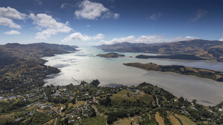
The reports follow engagement with Whakaraupō Lyttelton Harbour and Koukourarata Port Levy communities to better understand local values and priorities in relation to the coastal environment as the impacts of climate change are felt through increased coastal flooding, coastal erosion and rising groundwater.
The information will be used by the Council and the Whakaraupō Lyttelton Harbour and Koukourarata Port Levy Coastal Panel to help develop draft adaptation plans for the area, which communities will be able to give feedback on later this year.
Council Team Leader Coastal Adaptation Planning Jane Morgan says, “It’s wonderful to have captured such a broad base of feedback from the people who live, work and play in the Whakaraupō Lyttelton Harbour and Koukourarata Port Levy area, to help inform our adaptation planning going forward.
“We were able to connect with the communities in their own backyard to hear about the issues that matter most to them, their concerns for the future, and what they want the area to look like. It was a very helpful and important step.”
The Council ran a series of community events between October and December last year as part of its main engagement programme, including a family fun day at Allandale Hall.
It also worked with local schools to deliver “beachinars”, where students talked on the beach with experts about how coastal hazards may affect the area.
A total of 294 respondents contributed to the main consultation, with a further 151 contributing to a secondary survey specifically about what impacts coastal hazards may have on transport. The two consultations formed the basis for the two reports released today.
Priority locations and community objectives decided
“During the engagement period we asked the community to tell us what they value in the area,” says Ms Morgan. “This information then formed the basis of the Coastal Panel’s work to develop the community objectives, which are critical to the assessment of adaptation options and plans alongside technical, cultural, ecological and cost considerations.
Adaptation options could include, for example, flood-proofing infrastructure, retreating assets, or using planning tools to avoid developing in at-risk areas and increasing the risk of harm to people and property.
The Coastal Panel has also agreed on the locations that will be prioritised for adaptation planning within the Whakaraupō Lyttelton Harbour and Koukourarata Port Levy area.
“We can’t reasonably plan for every inch of the coastline, so the Coastal Panel has agreed on six Priority Adaptation Locations to focus on,” adds Ms Morgan.
“These are defined as particularly at-risk locations that will receive an adaptation plan. They’re areas where clusters of public assets, particularly critical assets, and networks of infrastructure are vulnerable to coastal hazards over the next 30 years.”
The Priority Adaptation Locations have been confirmed as Rāpaki, Allandale, Teddington, Te Wharau Southern Charteris Bay, Purau, and Koukourarata Port Levy.
“In recognition of the interconnectedness and criticality of transport assets across the harbour, the Coastal Panel have also agreed that roading and marine infrastructure assets will be considered together as part of a separate and wider assessment,” says Ms Morgan. “This reflects feedback from the community who identified jetties, wharves and piers as highly valued assets for consideration.”
Coastal Adaptation Planning Report – Read the full report or the summary document.
Impacts of Coastal Hazards on Travel Report – Read the full report or the summary document.
Popular news