Grants awarded to develop aerial imagery prototype technology
Supporting business |
24 Jan 2022
Share this story
Three Christchurch-based innovators have each been awarded $10,000 in grant funding, alongside mentoring and support, to develop their prototypes for capturing aerial imagery as part of the Christchurch Aerospace Challenge.
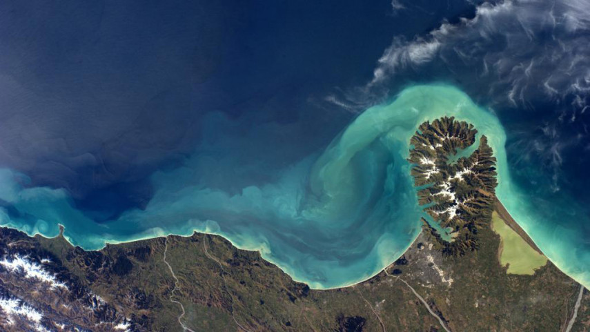
Images taken from high above the earth are used to make better decisions about what should be done on the land below. Uses for aerial imagery range from tackling air pollution to water level changes through to disaster management and recovery.
The grant recipients will develop their prototype over the next five months and compete in a finale and award evening in June, where the winning solution will be awarded a $30,000 contract with Christchurch City Council to trial and validate their solution.
The Council will put the technology to use as part of its Smart Christchurch programme helping to create a digital replica of Christchurch, to be used for planning, and enable advanced analysis of data.
The three grant recipients are:
- Swoop Aero: It's solution will ensure the seamless collection of aerial data by combining Swoop Aero's proven technology platform with a high-resolution sensor.
- Unmanned Aircraft Solutions: It's solution will use smart mapping pods which can be rapidly deployed on a range of aircraft to gather fast aerial mapping data in a more sustainable way.
- Versatile Airborne Radars: This team of researchers will adapt technology used to monitor changing alpine and polar environments. Their snow radar augments satellite information to give an otherwise flat image in the vertical dimension.
The applications were reviewed by a panel of 10 judges to ensure they met the Christchurch Aerospace Challenge criteria and requirements of Christchurch City Council.
Christchurch City Council’s Smart Christchurch Programme Manager Michael Healy said the applicants provided three very different, high quality solutions.
“Each team has approached the challenge differently, and it will be fantastic to see how each of the finalists develop their prototypes over the next five months. Aerial imagery capture technology provides important information for decision-making to the Christchurch City Council. This development will help protect and future-proof our city, particularly from the effects of climate change.”
The Challenge is delivered through a partnership between ChristchurchNZ and the Christchurch City Council and is proudly supported by the University of Canterbury, Aerospace Christchurch and KiwiNet.
Popular news