Interactive map bears fruit without costing the earth

Share this story
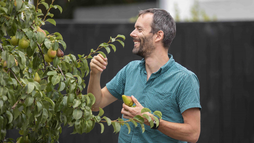
A new online food map reveals where people can find free fruit and nuts growing in public spaces in Christchurch.
“There is an abundance of fruit and nut trees growing on public land across the city,” the Council Smart City Manager Michael Healy says.
“In total, there are 122,741 Council-owned trees in Christchurch and Banks Peninsula. Of these, 6846 are fruit or nut-producing trees.”
“Our new ‘fruit trees’ feature on SmartView presents a map that shows urban food foragers the location of fruit and nut trees on offer in Christchurch’s public spaces,” Mr Healy says.
“The Council has been planting fruit and nut trees in key locations throughout the city for many years. Planting around schools, for example, allows children to pick an apple or pear for lunch on the way to school.
“The map helps people discover natural urban food sources available year round. Many people don’t realise they can harvest from fruit trees growing in public places.
“Food foragers should be careful not to damage the trees when harvesting and only take enough for their own needs. Foraging etiquette means people should care for the trees and leave enough for the next person, so everyone can enjoy the seasonal bounty.”
Working in tandem with Council specialists in geographic technology and green spaces, the SmartView map allows users to zoom in on food-bearing areas – often parks or roadsides.
More than 52 types of trees feature on the map, with the most common being plum, European beech, crab apple, Irish strawberry tree, pear, walnut, honey locust and sweet chestnut.
Within days of going live, the online map has attracted thousands of views.
Plans are already under way to add more details about the trees such as harvest times, an image of trees and useful links to help people identify and enjoy this free food growing in the garden city.
To find out more, visit SmartView.
