Street Talk: The places and spaces we live in
Better streets & spaces |
19 Jan 2022
Share this story
Streets are all around us. They’re the foundation on which our city and towns are laid out.
Underneath sits the infrastructure that underpins our modern lives: wastewater, drinking water, storm water, power cables, broadband and fibre.
We use them to get to work, to go shopping, to visit people, access essential services, exercise on and protest in.
Streets are where we grow up and where we live so we have strong connections with them.
Did you know that Christchurch City Council looks after 2,439 kilometres of streets including 652 kilometres in Banks Peninsula?
We’re going to explore some of these in a series called Street Talk.
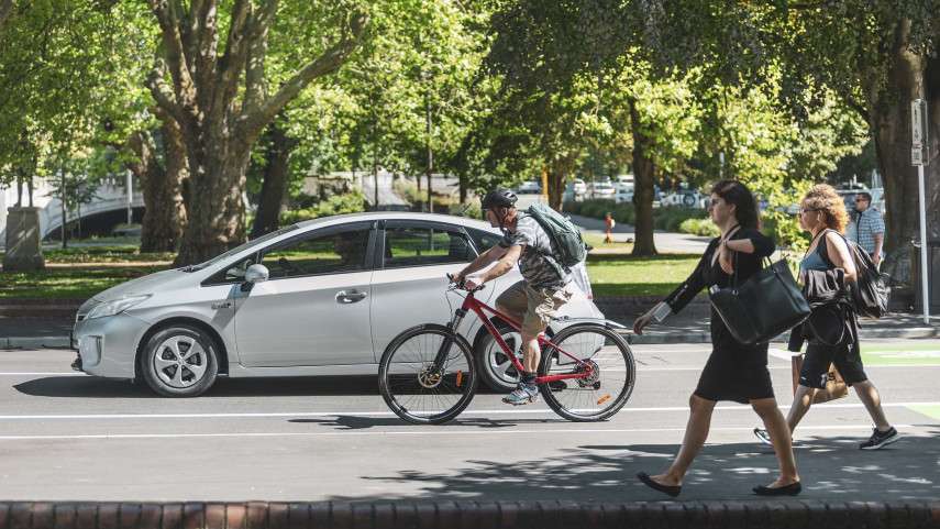
Streets make up around 80 percent of public space in Christchurch so they’re increasingly being seen as places for gathering and enjoyment as well as channels for movement.
One of the legacies of the Canterbury earthquakes was the opportunity to redesign our city to make it a more vibrant, distinctive, accessible and green place to live and work.
That’s why many of our central city streets are designed to be user-friendly for multiple modes of transport from pedestrians and scooters, bikes and motorcycles to buses, cars and even trams.
It’s also why there are an increasing number of spaces for other activities like sitting, reading, talking, eating, drinking and playing.
Well-designed streets are not only more pleasant places to be, they also generate higher revenues for businesses and higher values for homeowners – win win!
Our modern streets look very different to how they were 50 or a 100 years ago. We’ll take a look at what they were like in the distant and not-so-distant past and explore how they’re created and maintained.
We’ll also look at how our streets are named and the role they play in marking historical events.
Plus some interesting facts and figures uncovering our busiest, widest, narrowest and longest streets!
Popular news