Trial ‘tohu whenua’ cultural marker for Avon Loop
Central city |
16 Aug 2021
Share this story
Visitors to the Avon Loop area of the Ōtākaro Avon River Corridor Regeneration Area will be able to learn more about the concept of mahinga kai and the city’s rich rowing history when installation of a ‘tohu whenua’ cultural marker and information plinth.
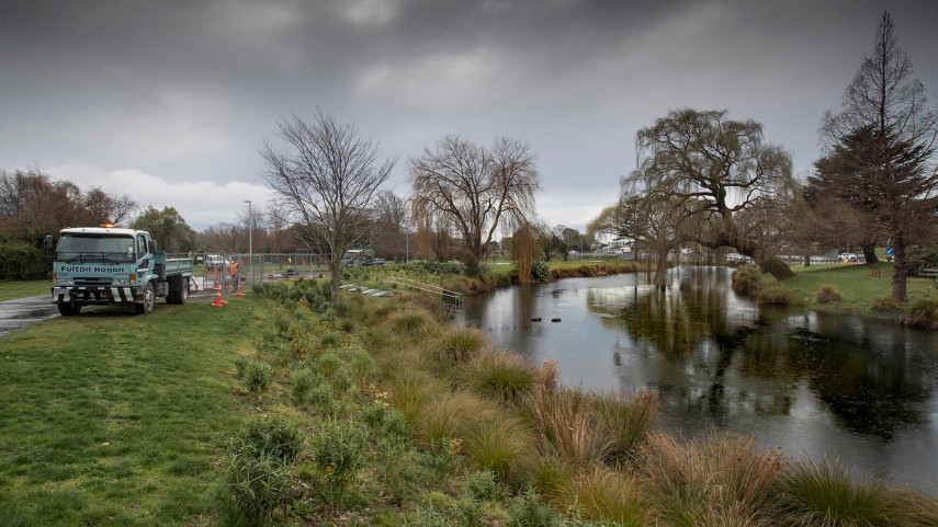
This week Christchurch City Council will begin installing the tohu whenua in the Avon Loop, just west of Fitzgerald Ave, marking the boundary of the central city and the Ōtākaro Avon River Corridor.

The new tohu whenua in the Avon Loop will look similar to this one on The Promenade.
It’s intended that the 3m-high cultural marker and accompanying information panel will be the first of six that will be installed around Christchurch over the coming years.
Acting Head of Transport Lynette Ellis says the tohu whenua will highlight stories and physical places that are significant to Ngāi Tahu, while the accompanying interpretation/information panels will tell our shared stories, from pre-European history, to European settlement and more modern history.
“It’s important that we continue bringing Ōtautahi’s cultural narrative to life, and enlivening the central city and encouraging people to explore everything the city has to offer,” Ms Ellis says.
“We’ve worked closely with Ngāi Tūāhuriri advisory organisation Matapopore to develop the tohu whenua design, the adjacent interpretation/information panels, and the locations of each.”
The remaining five will be featured at Margaret Mahy Playground, near the Bridge of Remembrance, Victoria Square, on the Promenade near the Christchurch Hospital, and in Cathedral Square.
Each tohu whenua will be 3m high, up to 700mm wide, and made of powder-coated aluminium.
The concept of adding cultural way-finders to the rebuilt Christchurch landscape was approved in CERA’s Christchurch Central Wayfinding Strategy (2016), Christchurch Central City Wayfinding Implementation Plan (2018), Our Heritage, Our Taonga – Heritage Strategy 2019-2029 and the Central City Action Plan (2018).
Popular news