Find your route for World Tsunami Awareness Day
Extreme weather |
3 Nov 2023
Share this story
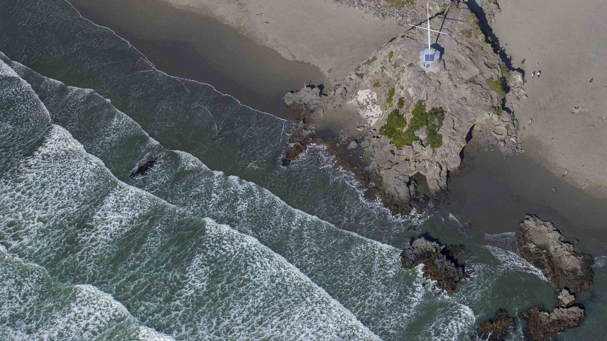
Form a plan, get your essentials sorted and lay out your evacuation route to mark this Tsunami Awareness Day on Sunday 5 November.
“Tsunamis can cause widespread destruction within minutes, which is why we’re asking everyone who lives or works on, or near, the coast or waterways in Christchurch and Banks Peninsula to know their zone and be prepared this Tsunami Awareness Day,” says Christchurch City Council Civil Defence and Emergency Management Manager Brenden Winder.
To ‘know your zone’, check the Tsunami Evacuation Zone Map on the Council website by clicking the magnifying glass and entering your address in the property search function.
“For people who are in a red or orange tsunami evacuation zone, we ask that you don’t delay in forming a plan of action, organising essential supplies, and getting familiar with your evacuation route by practising your tsunami hīkoi,” Mr Winder says.
A tsunami hīkoi is a walk that takes you along your tsunami evacuation route, either as far inland as possible or up to high ground.
“If you’re able to, we recommend evacuating on foot or by bike, as roads will quickly become overwhelmed if tens of thousands of residents are all trying to leave their suburb by car at once. Especially if you’re near high ground, it’s much faster to hike up the hill to safety,” Mr Winder says.
“This weekend is a great opportunity to practice your tsunami hīkoi with your household and whānau, so that everyone knows what to do and where to go.”
Mr Winder says it’s also important to know what warning signs to look out for. For those in the orange or red zone, any earthquake that is particularly ‘long or strong’ is a sign to ‘get gone’.
“This means if the earthquake lasts for more than a minute, or if it is so strong that it’s difficult to stand up, you should evacuate the zone as soon as the shaking stops.”
Other observable warning signs are sudden sea-level changes or unusual noises coming from the sea. Knowing these signs is important because, in the event of a local source tsunami, there is likely to be very little warning, says Mr Winder.
“The National Emergency Management Agency will coordinate official warnings as soon as possible, using Emergency Mobile Alerts (sent directly to cell phones), radio, television, social media and local community groups.
The Council also operates a tsunami siren warning network between Taylors Mistake in the south and Brooklands in the north, designed to alert the public in the event of a distant or regional source tsunami.
“We want to remind the community that Emergency Mobile Alerts are linked to the National Warning System and are the primary alerting tool in the event of a Tsunami,” Mr Winder says.
Find out if you live or work in a tsunami evacuation zone at Christchurch City Council's interactive online map and make your plan at GetReady.govt.nz.
Popular news